Introducing The Backlane Maintenance Map
May 14, 2021
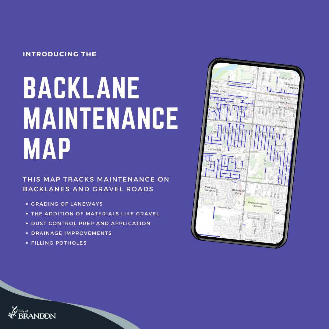
Brandon, MB – Brandon residents can now keep track of back lane maintenance on City streets from their computer or mobile device, thanks to the Backlane Maintenance Map.
This map will allow residents the ability to view maintenance work performed by the Streets & Roads Section on back lanes and gravel roads across the city for the current year.
Types of maintenance tracked on the map includes:
grading of laneways
the addition of materials, such as gravel
dust control prep and application
drainage improvements
filling potholes
“The Public Works team is very excited about the launch of this new initiative,” notes Pam Richardson, Director of Public Works. “We will be able to provide more information to the residents of the City of Brandon, of which they have been asking.”
The map was created in partnership with the City’s Innovation, Technology & Communications (ITC) department. ITC also created a short how-to video to showcase how the map works. The first time the map is loaded, a popup window with a help dialog and how-to video appears. Following the first visit, the help dialog and how-to video can be found by clicking the blue “?” in the top right-hand corner.
This map can be viewed at gisapp.brandon.ca/webmaps/backlanemaintenance.
